Known Surfaces is a series of reliefs and photographs derived from SAR (Synthetic Aperture Radar) data gathered over satellite calibration sites. Translating remote sensing data into sculptural and image form, the works focus on the default landscapes of planetary observation: dry lakebeds, desert grids, and other terrains valued for how consistently they can be measured. A few dozen such sites, agreed upon by the scientific community, underwrite every other image satellites will make, providing the stable reference conditions against which orbital imaging systems establish their ground truth. Every imaging satellite entering orbit is required to scan a subset of these terrains upon deployment and at regular intervals thereafter, making them a core part of the Earth observation infrastructure.
Within this series, Harun Farocki's notion of the operative image, the image produced to enable action through technological communication rather than be looked at, acquires a geography: these calibration sites are operative landscapes, places shaped by the demand that they be measurable, known, computable. Known Surfaces returns these terrains to an aesthetic register, holding open the question of what a landscape valued only for its legibility might otherwise be.
The series currently contains six works produced in different media, created from satellite data obtained at the following satellite calibration sites: Salar de Uyuni, Namib Desert #2, White Sands Missile Range, Lunar Lake Playa, Rogers Dry Lake, Railroad Valley Playa.
Within End of Signal, calibration sites are where Argus, the work's unreliable narrator satellite, first establishes its relation to truthfulness, setting the ground truth it will later come to distort.
Known Surfaces is part of End of Signal, a research-based body of work which examines the epistemic implications of AI deployed at scale, staged through a speculative future in which a satellite becomes an unreliable narrator of the reality on the ground. The project investigates what I term "technological underdetermination": a condition enabled by generative artificial intelligence, in which the unknown is produced by a surplus of plausible explanations rooted in existing ground truths, rather than by a scarcity of information.
A comprehensive presentation of the project can be found in this PDF document.
Production Credits
Sofía Enríquez G., curator
Laenz, sound design
Andreea Iliescu, 3D environment design
Yannis Siglidis, machine learning engineering
MK Skitka, creative technology
Sofía Enríquez G., print graphic design
Katelyn Rebelo, digital graphic design
Lindo Serviço, Estudios Durero, fabrication
Fine Print, printing
Elena Carbajal, exhibition coordination & production
María Castillo, Alessandra Gargiulo, exhibition design & production
Milena Fernández, communications
Special thanks: Alasdair Milne, OFFICE IMPART (Anne Schwanz and Johanna Neuschäffer), Artemis Gallery, Aisling Murray
End of Signal is the winning project of the SOLO AI ’25 AWARD, presented by SOLO Contemporary, and part of the exhibition programme of Onkaos. I would like to acknowledge the support of SOLO Contemporary and STUDIOTOPIA in the development of this project.
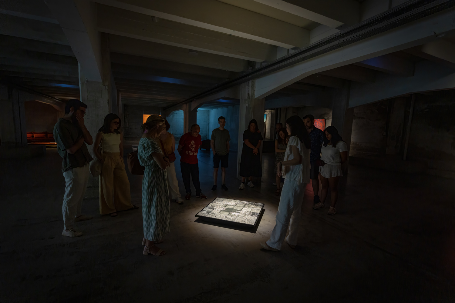
Known Surfaces, exhibition view, End of Signal at SOLO Contemporary
Image courtesy of Onkaos & SOLO Contemporary.
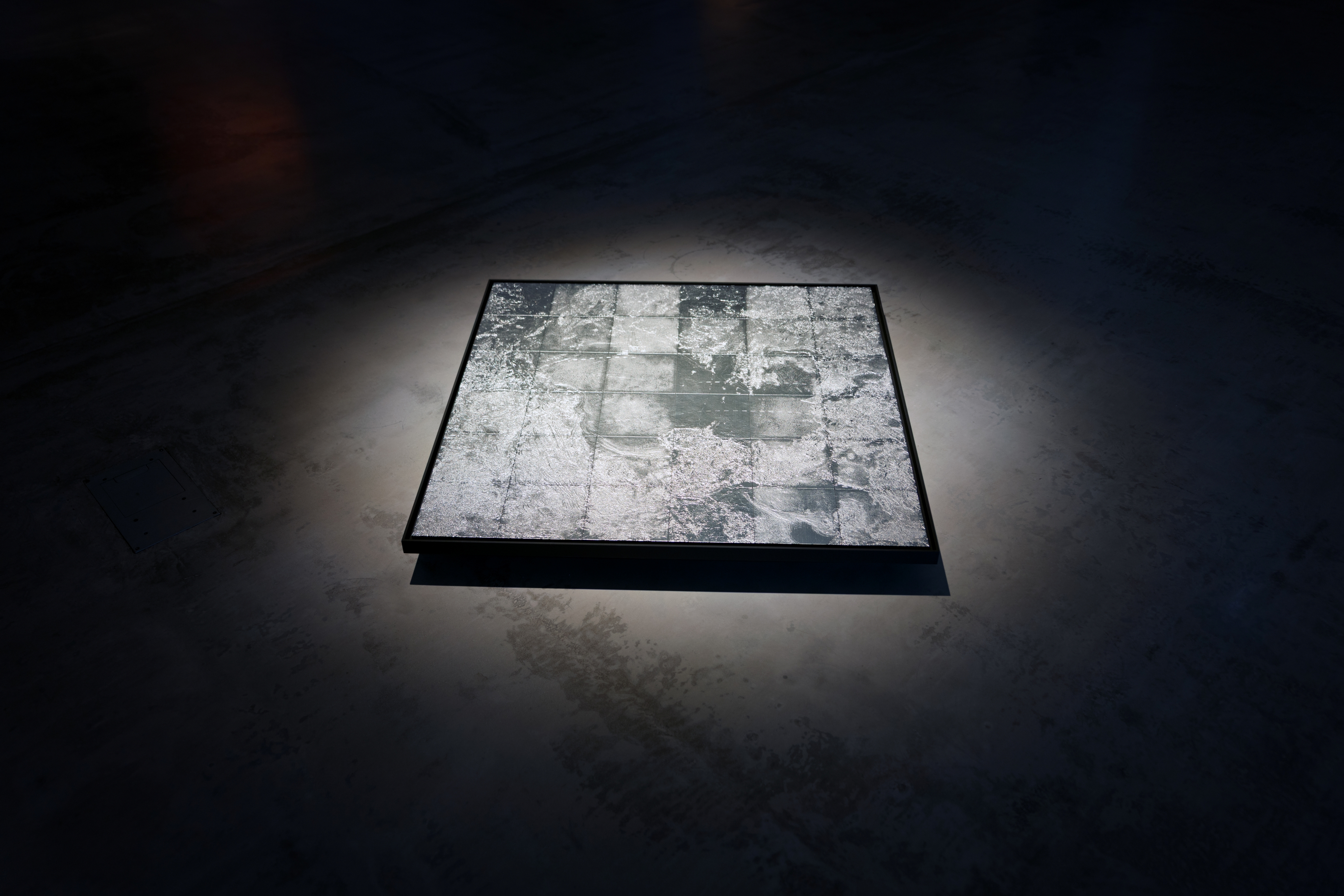
Known Surfaces (Salar de Uyuni), synthetic aperture radar satellite data, laser-cut and painted acrylic, 90cm x 90cm.
Image courtesy of Onkaos & SOLO Contemporary.
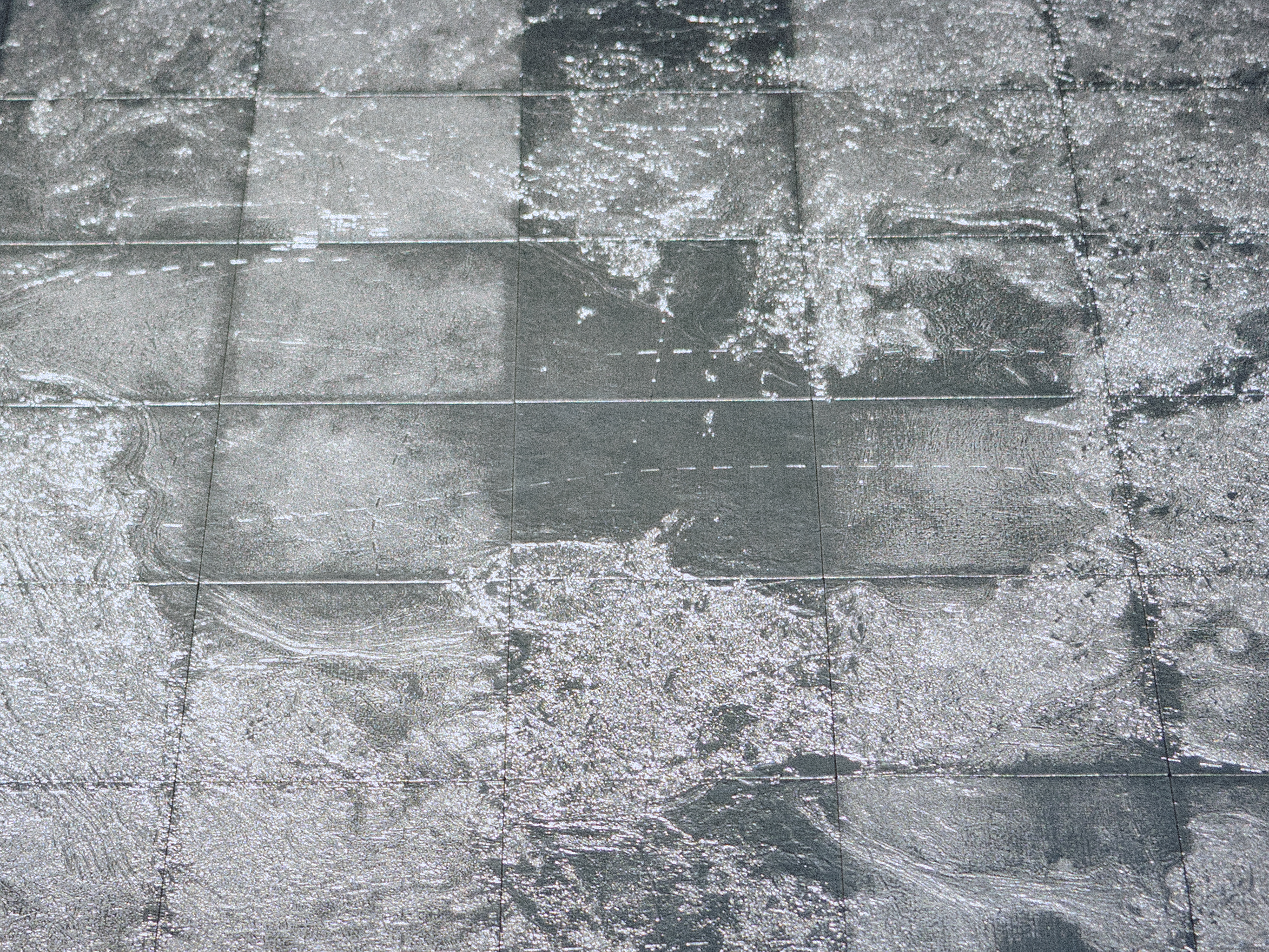
Detail, Known Surfaces (Salar de Uyuni), synthetic aperture radar satellite data, laser-cut and painted acrylic, 90cm x 90cm.
Image courtesy of Onkaos & SOLO Contemporary.
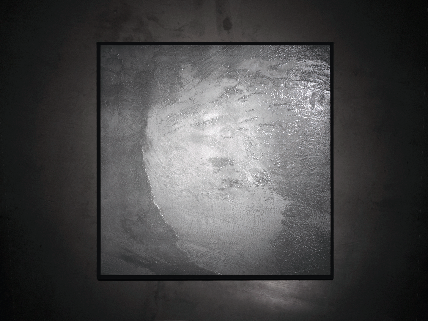
Known Surfaces (Namib Desert No. 2), synthetic aperture radar satellite data, raised UV print, 100cm x 100cm.
Image courtesy of Onkaos & SOLO Contemporary.
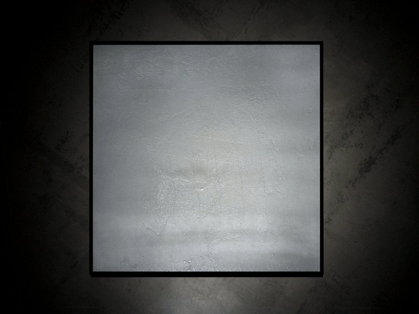
Known Surfaces (White Sands Missile Range), synthetic aperture radar satellite data, raised UV print, 100cm x 100cm.
Image courtesy of Onkaos & SOLO Contemporary.
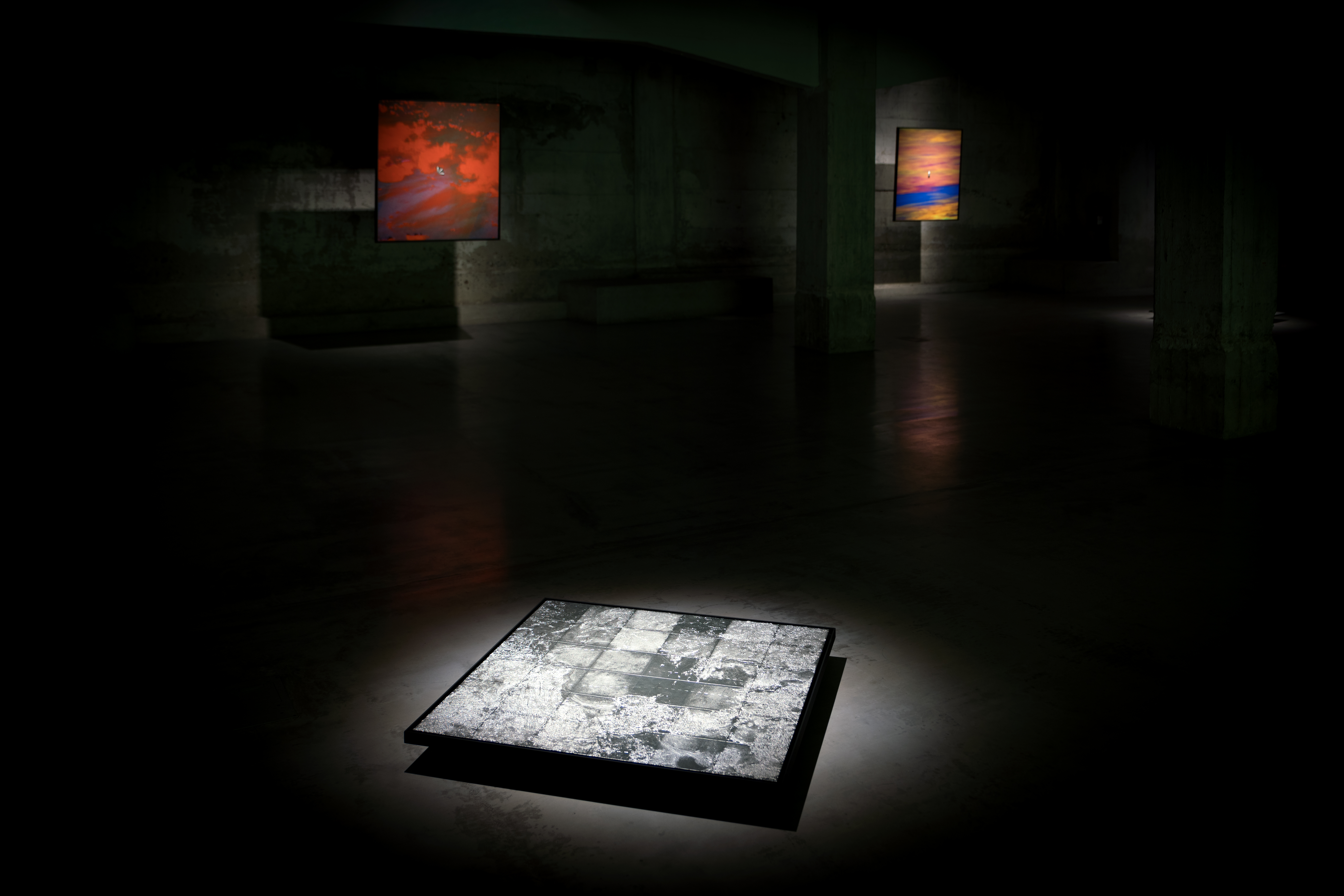
Known Surfaces, exhibition view, End of Signal at SOLO Contemporary
Image courtesy of Onkaos & SOLO Contemporary.
Known Surfaces, exhibition view, End of Signal at Center for Contemporary Art Gdansk
Image courtesy of CSW Laznia.
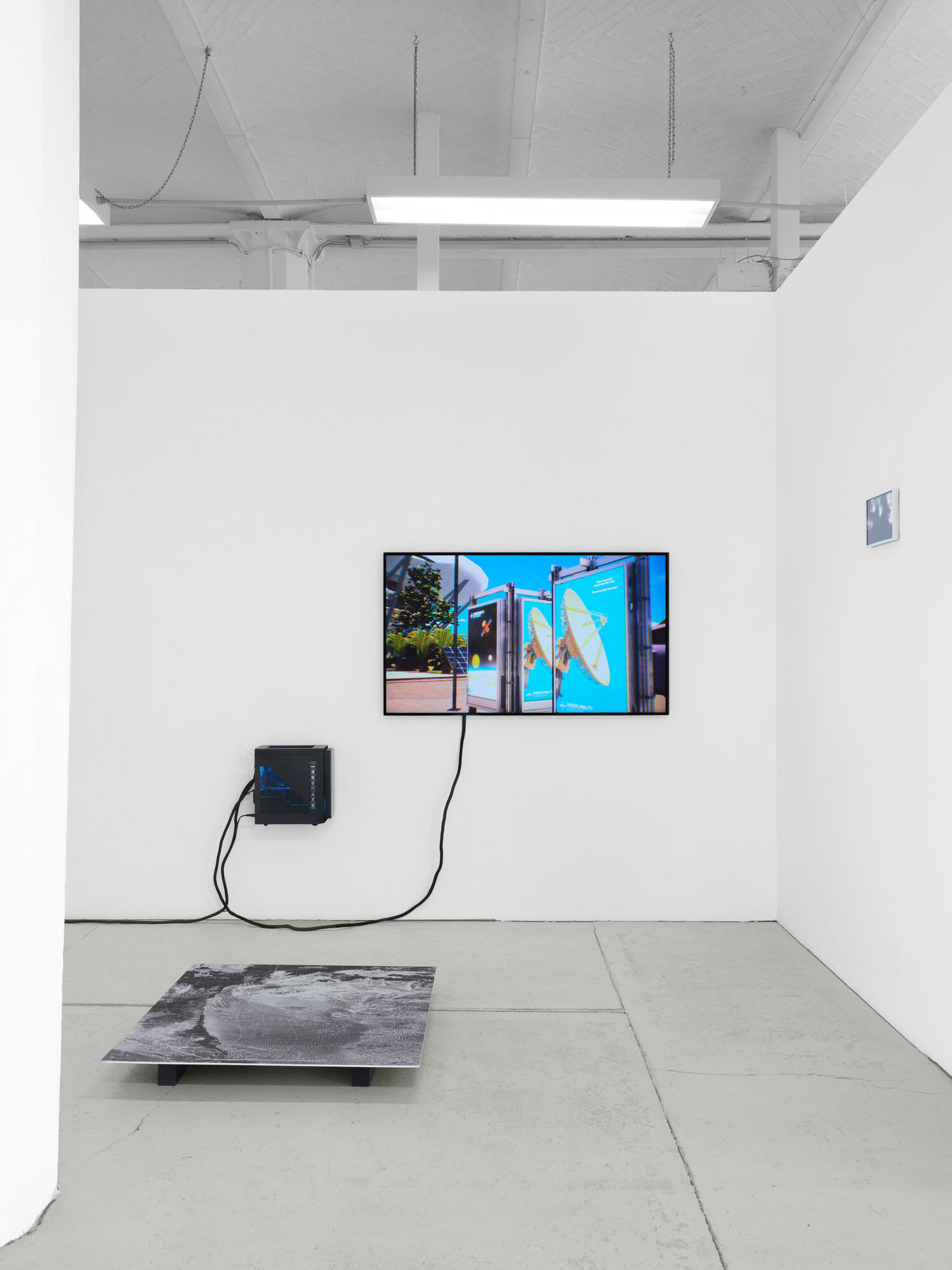
Known Surfaces, exhibition view, drifts; at OFFICE IMPART
Image courtesy of OFFICE IMPART.
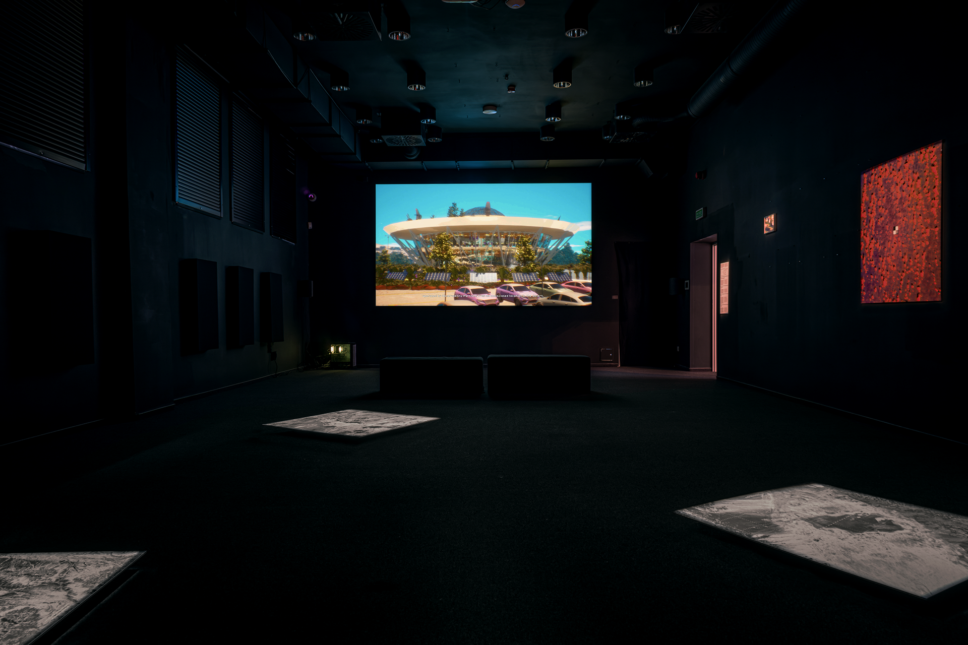
Known Surfaces, exhibition view, End of Signal at Center for Contemporary Art Gdansk
Image courtesy of CSW Laznia.